I want a t-shirt that says “I’m Crabby About Old Saybrook.”
Is it because the trip I most anticipated got pushed off so many times — heatwave, heatwave, train fail, heatwave, rain — that when I finally visited, let down was the only option? Is it because there are qualities of this section of town that really, truly suck? Is it because my standards for towns with money are much higher than for those without?
Come, wander with me, and see what there is to see.
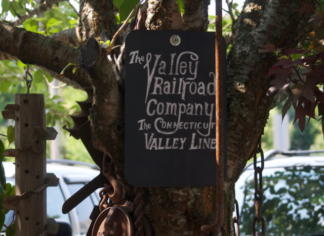
While you can obviously still get here by train, the Connecticut Valley Line nostalgia was a bit of a face slap.
Back in the day, I could’ve traveled the 45 miles from Hartford to Old Saybrook, instead of needing to split the ride into two trains — Hartford to New Haven, wait around for an hour, then New Haven to Old Saybrook.
Then, the ride would have take 2.5 hours. Today, it takes about the same amount of time when you include the layover in New Haven.
This train-tree collage is not the last you’ll hear from me about the railroad, but let’s do this in small doses.

There are other things to see.
I don’t go to the shore seeking shellfish rolls.
My sights are set on stranger things. I want what’s unexpected.
That might look like an irritated lawn crow. . .
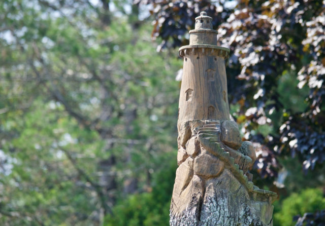
. . . or tree stumps carved into decorations.
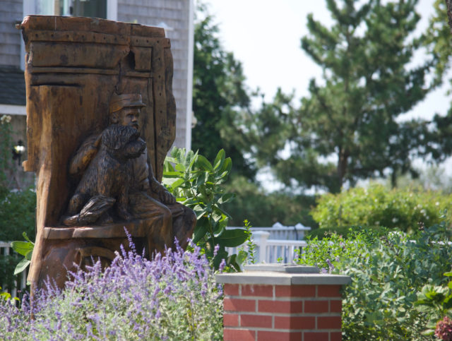
Or suggestive statuary outside a resort.
I wanted to get closer.
He seemed to be guarding the beach cruisers available to resort guests, of which I was not one.

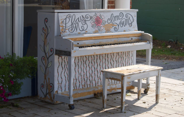
There’s stumbling upon a splintery street piano
And the patio of The Kate.
Imagine being able to attend an evening show because you could still get home that night by train, or even bus. Christine Ohlman is playing there in November. The options are spend the night or miss the show.
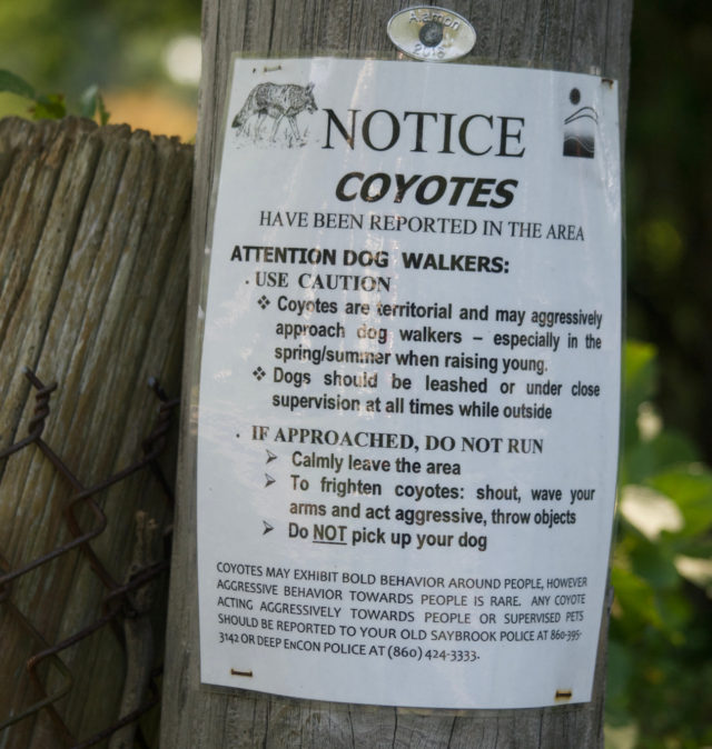
Just as the Valley Line reminders disappointed me, so did the warning of coyotes in the area. I stood around for awhile, hoping one would appear. I even had a croissant in my bag, and I was willing to share. None showed up. I should be content with the ones I see along the Park River in Hartford, even if ours do not come with special telephone pole notices.
And then there’s the part of the trip where I want to see nature.
There are some fine parking lot seagulls standing near an awareness cone in Saybrook Point.
Nature seems to be reclaiming the lot. Part of the charm.
It feels rundown, with storage containers plunked down, as if someone decided to abandon their freight right there.

It looked uninviting and like I was not supposed to be there, so I continued ahead to see what this was about.
Turns out, it’s a town park: Gardiner’s Landing.
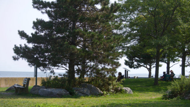
It’s less ramshackle than the parking lot, but don’t worry — that simply means it’s low-frills, not bougie. A few benches, a little grass, a a view of the Connecticut River as it blurs with Long Island Sound. There is marsh to get all up in.
You can watch the bascule bridge adjust itself to let boats through.
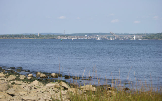
And then watch the boats.
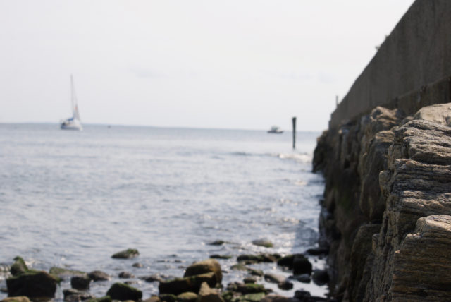
You can spend too much time pondering why humans build on the water and then try to keep the water out.
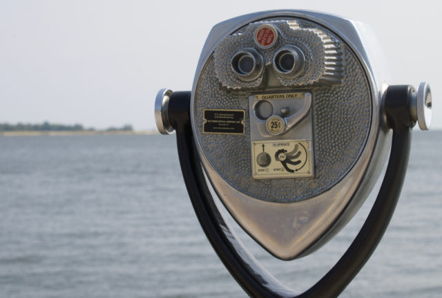
Or wonder if there will ever be a day when you decide that, sure, it makes sense to spend a quarter to look through binoculars that should be free. Who thought to charge for a view?
This park blends with, or perhaps includes, other amenities. It’s hard to tell what belongs to what. There’s a free-standing restroom (indoor plumbing variety) that seems shared between Fort Saybrook Monument Park, Gardiner’s Landing, and perhaps a mini golf course?
There’s chain link fence separating the areas, sort of. You can crawl through an opening, easily, if you don’t care about everyone looking at you funny. You can also go around, still able to access all the sections.
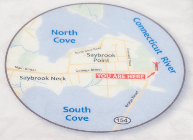
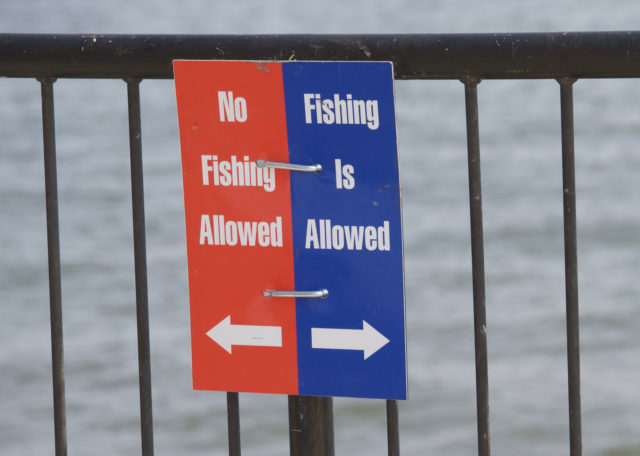
Nothing says to keep out, but there are signs telling you where you may and may not fish.
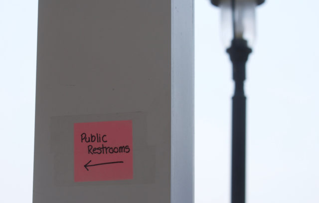
If you strain your eyes, you can see a wayfinding sign — a Post-it — taped to a column by the pavilion. There’s another restroom option.
Nearby Fort Saybrook. . . is.
Some periods and aspects of history interest me more than others.
If there were sheep, people fishing, someone creating amazing art, I would like to learn about that.
But the only forts I care about are the ones I made in the woods when I was ten. There. I said it. Who wants to revoke my Connecticut resident status? I don’t descend from any founders, so I understand this privilege can be taken from me at any time.
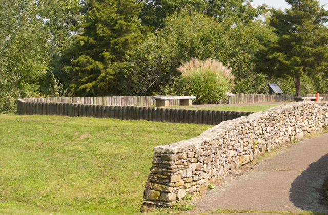
I can appreciate a stone wall, and that’s what drew me over to this.
That, and I was hoping to find a public restroom somewhere.

I was wearing my cross-body bag when I took this photo, feeling some solidarity with statue dude, because you can get sweaty under that strap. It’s important to keep your hands free though, for when you need to fight or whatever.
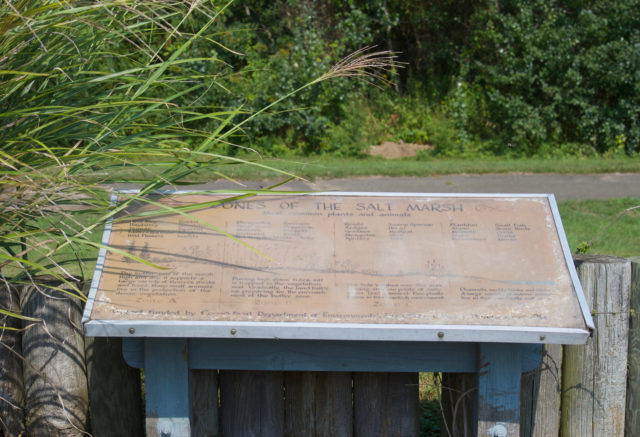
Don’t worry — there are also hard-to-read signs explaining salt marshes. Even if every single one tells me the same thing, I read them all in every single place they appear, not internalizing any of the information.
I was hoping for more salt marsh views in Old Saybrook, but at least the Shore Line East ride provided those. Always get a window seat. Save the train reading for the Hartford Line.
The park has an interpretive sign about the sand bar, and you can read a lot more about that online.
What may be less obvious about Fort Saybrook Monument Park is that the site was later used as a turntable and roundhouse for the railroad, and I feel like maybe we should lead with that.
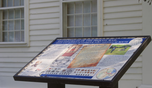
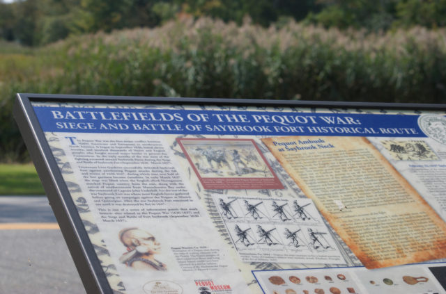
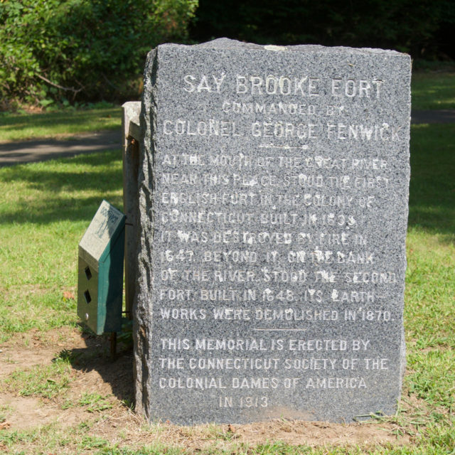
If you are more interested in forts and fighting than I am, not to worry — there are approximately ten billion historical markers in Old Saybrook Center.
The more I’m out and about, the more thought I give to street names. For instance, it was easy to remember when arriving that I would be seeking out Main Street, and that should be legible without needing to look at a map while walking. To the credit of Old Saybrook, my sparse notes were enough for me, and I never stood at the side of a road, trying to figure out what GPS was telling me.
I knew that eventually, Main Street turned into College Street — something that would not make sense unless you knew it had been the site of what became Yale.
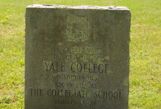
You can see this marker, and others, from the sidewalk. These are in Cypress Cemetery, which claims to be one of the oldest, continuously operating graveyards in North America. And it is elite. Their website says that to be eligible for burial here, one “must have some connection to the community in Old Saybrook.”
Katharine Hepburn is buried in Hartford’s Cedar Hill Cemetery.
Come at me.
Among Old Saybrook’s charms is an evacuation route sign that looks unhelpful in a storm, so you’d better know where you’re going, which you would if part of the community.
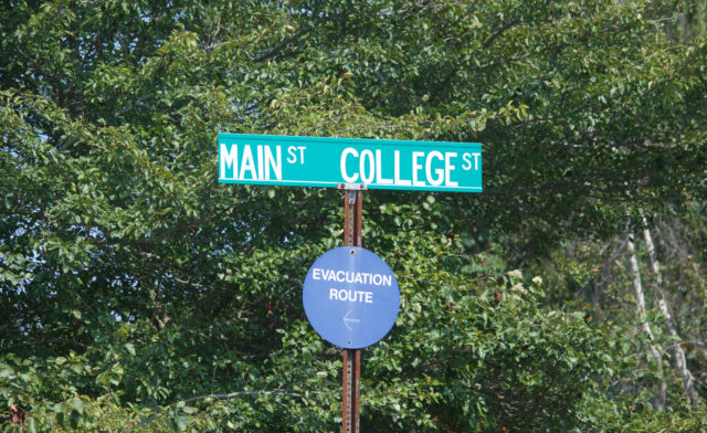
I will give them this — if you’re stuck in a massive traffic jam on that evacuation route, you can abandon your vehicle and have lots to read while walking to wherever one goes when evacuating. Being able to take a train north from Old Saybrook isn’t seeming so foolish now, is it?
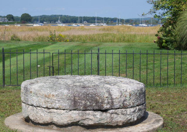
Among the roadside attractions: a sign for a piece of windmill, apparently part of Lion Gardiner’s (the statue dude) corn grinding operation.
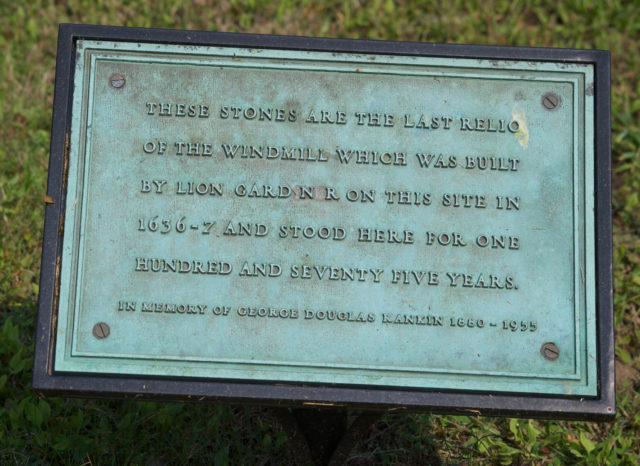
This is at least as exciting as Plymouth Rock.
At least.
Going south on Bridge Street, there’s more taunting about what had been but is not. A sign announces a trolley, and it seems helpful, but is it daily? Seasonal? I know that Old Saybrook used to have an actual trolley. Are we calling buses “trolleys” because that sounds more quaint and less urban? Is this faded sign a sign that. . .
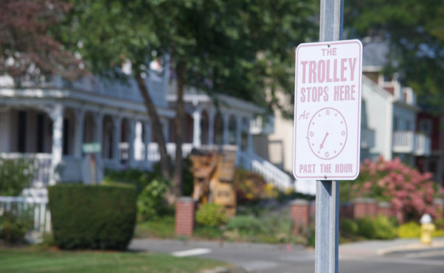
Nevermind the trolley.
There’s a causeway on Bridge Street.
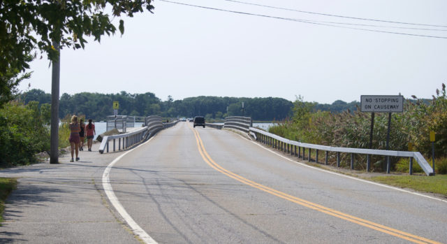
The pavement in places is blood-stained, presumably from where people had previously caught fish, though I had no rods or hooks to dodge while making my way through/near/on the South Cove.
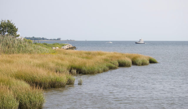
While Old Saybrook kept its coyotes out of sight, there were ample cormorants hanging out on rocks and diving near the bridge.
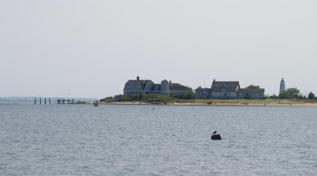
There are views of Fenwick.
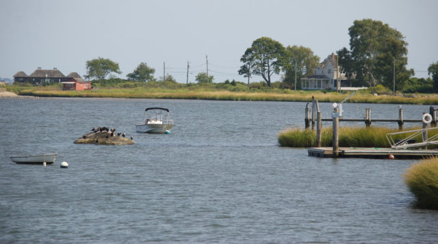
Boats in every direction if you’d rather look at those.
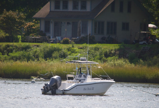
There are more views to be had after the bridge, but the sidewalk runs out. If you have a bicycle — how are there no rentals at the train station?! — you can continue on Maple Avenue and glance upon Long Island Sound. Ride with a sweater tied around your shoulders and pretend that you’re Jessica Fletcher, out solving the mystery of the blood-stained causeway, because why not?
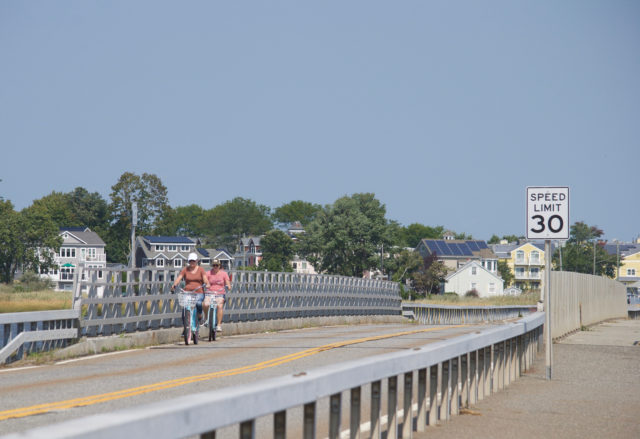
I could not quite figure out what Old Saybrook wants to be.
Some places tell you, in no uncertain terms.
There are towns plastered in rainbows or nautical themes, or both. Places that are gritty.
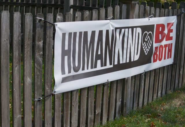
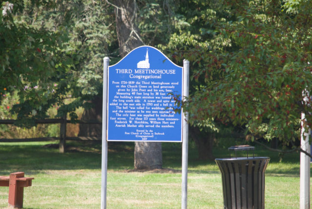
I saw a few signs like this, and my first thought was “yeah,right.”
But maybe this is aspirational.
Are we designing with kindness?
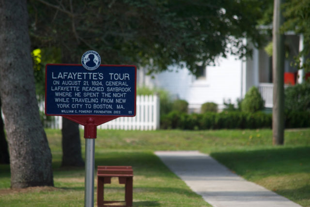
Is it a place where we think about what it was without knowing what it currently is or what it hopes to be?
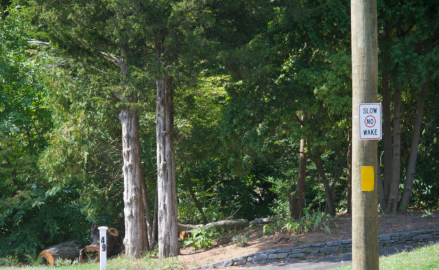
A place where we post “no wake” signs by stroads, perhaps as a way of saying “drive slowly so nobody has to attend your wake”?
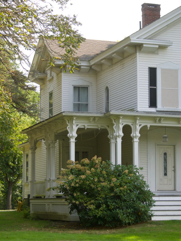
There are gorgeous buildings here and there.
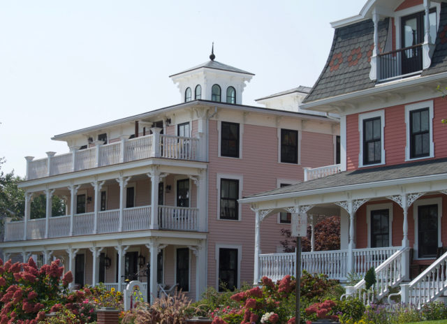
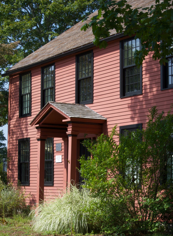
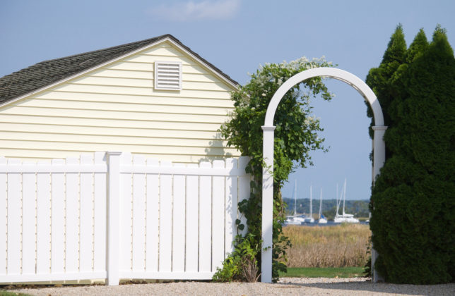
These two and their gardens, at Bridge and Cove, are worth a look. More houses should be pink.
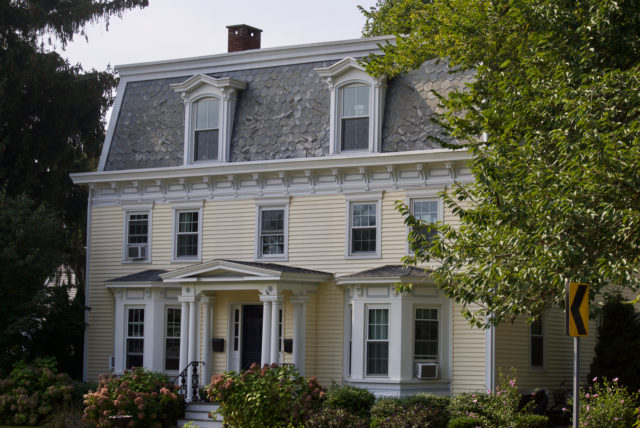
Plenty of homes have historical plaques too, saying something about the original owner, or maybe the most famous occupant.
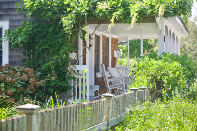
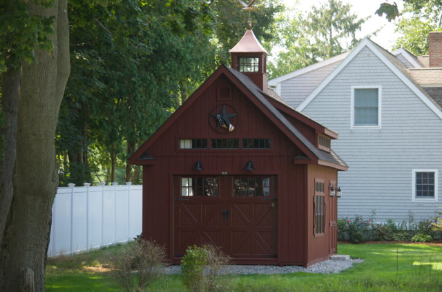
The rule remains: always look into the side and backyards (but from public space). This is how you’ll see gardens, smaller buildings, and what might not be evident when traveling the suggested speed limit.
If you want information about the historic buildings on Main Street, the official town website says that “A detailed walking tour brochure is available at the Old Saybrook Chamber of Commerce office. The walking tour draws attention to what is left of the old buildings on Main Street. It also focuses on sites of selected historic buildings that have been replaced. Call or write for your copy.”
Are we taking notes? To be buried in Cypress Cemetery, you need a community connection. To see a brochure, only physical copies are available — nothing digital for you.
That didn’t seem right, so I checked.
The Chamber of Commerce website does make the walking tour available online, and it contains info about the section of Main Street between the train station and Lion’s windmill stone.
Always an option: wander without notes, making up stories in your head about what you’re seeing.
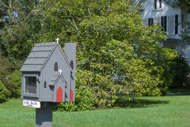
As is becoming the fashion, you can even find a church with a Little Free Library, but it’s specifically for bibles. I appreciate the library’s detail though.
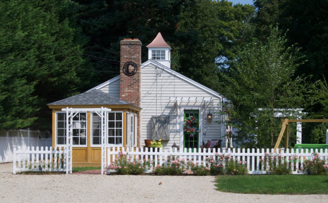
This brings us to the part of the journey that I struggled with, a lot, and which was actually the first part.
Main Street between Old Boston Post Road and the train station is unpleasant.
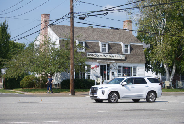
It’s a stroad, a sprawling, wide expanse with little-to-no thought given as to how this is experienced by foot or bicycle. This is especially odd because people want to bike here. There are places to visit.
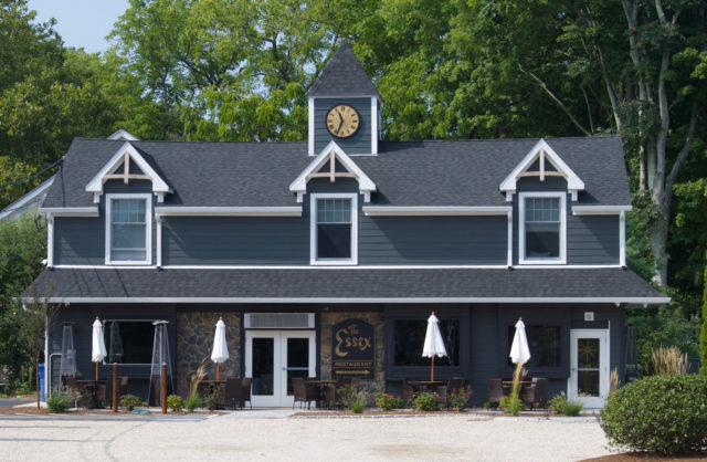
There are some cute buildings, and I’m sure delightful restaurants, but do I want to cross four lanes of traffic where, aside from a median I can stand on, there is nothing much for pedestrian safety?
For every adorable building, there were also strip malls.
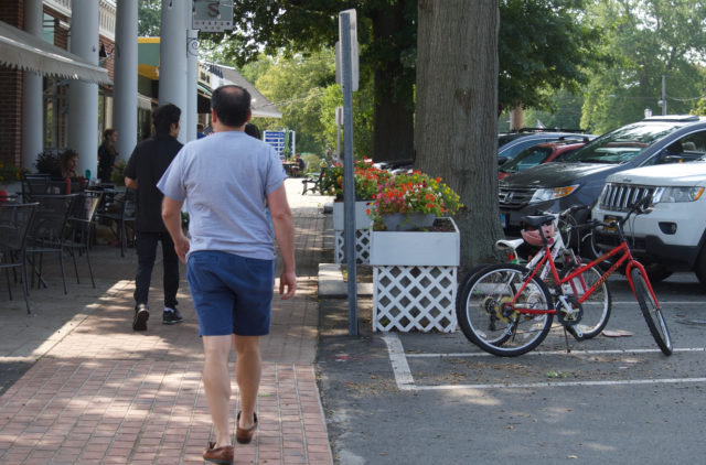
There were few curbs or other physical barriers between the on street parking and the sidewalks, and because of that choice, there were a number of vehicles — all oversized SUVs — that had been parked up to more than a foot over the sidewalk, which isn’t all that wide. Not much to stop someone from continuing to roll forward, and the sidewalk is where most of the kids were riding bicycles.
There’s the weird sprawl of the fire department lot, where police sat in their giant police vehicles, making it feel like they were going to drive over anyone on that sidewalk. What is that about?
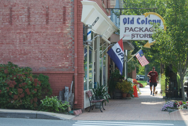
The tone was set when I was trying to get from train station to road. The station itself is in a sea of parking and a strip mall, or at least that’s how it feels. There is a sidewalk that was more obvious to me while returning, but if you exit the train and go directly for pizza or coffee, it’s easy to feel lost in that sea. It was annoying by myself; I couldn’t imagine navigating this with a young child.
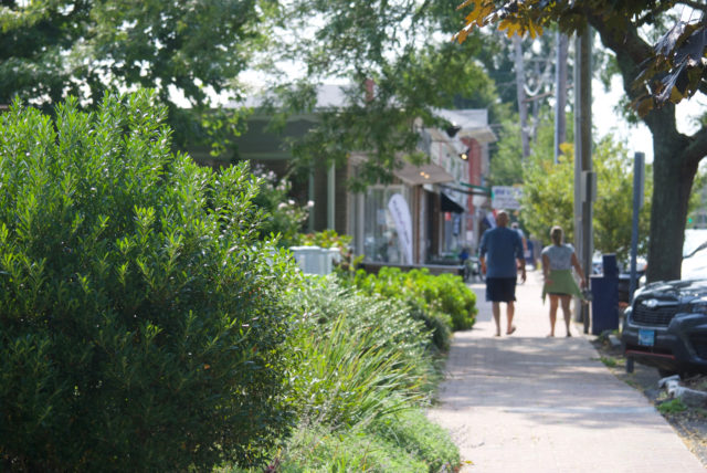
Then, if you are following this route from North Main Street to Main Street, there is an unfortunate intersection with Boston Post Road — where someone drove their massive SUV through the red light while I had the pedestrian light. They decided to go right on red without looking. We know this is what happens when roads are designed to easily allow this. Is this the best a town can do? This is right by the chamber of commerce. The town center.
It does seem that there have been design improvements to this area, and that should frighten you. What was it like before? Because this was not great. Even the area of North Main where there were sidewalks and crosswalks leading to the train station, drivers exiting left from the station lot were mostly oblivious to people trying to use the road.
When this is the impression in the first five minutes — a maze of a train station lot and then a terrible intersection — you find yourself as a visitor thinking “this better be worth the trouble.”
I don’t know if I have an answer for that.
Getting There
Well, you won’t be taking the train directly from Hartford.
Go Hartford Line to New Haven (Union Station or State Street, doesn’t matter) and then Shore Line East to Old Saybrook.
(As an alternative, you could take the 921 Middletown-Old Saybrook Express bus from Hartford on weekdays. The last stop is also near the train station)
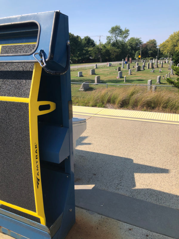
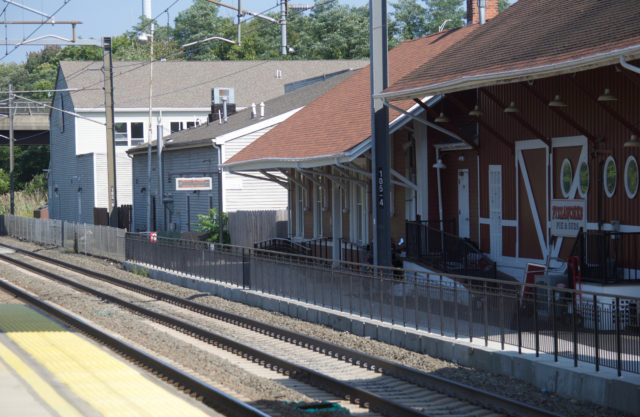
A word about the Old Saybrook station: It is not intuitive, but there is a small sign pointing toward an indoor waiting area where you can find indoor restrooms, snack vending machines, an actual person selling tickets, and all the travel brochures you could want. This is also where there is an electronic sign indicating which platform to board and if there are delays. Again, this is not intuitive, as it looks like you’re being led behind restaurant loading docks or something.
Definitely arrive early. My experience has been that Shore Line East trains will show up five minutes earlier than scheduled, and without frequent service, you don’t want a very expensive taxi to New Haven.
As mentioned, Ashlawn Farm Coffee is right there by the station. There are also several other local, independent coffee places within a ten minute walk of the train. No need to settle for chain coffee.

Bob Shipman
Your comments are spot on! OS is very unfriendly to bikes and (in my case) small mobility scooters. Some other small towns along Rt-1 have managed to maintain significantly more charm in their commercial districts.
Kerri Ana Provost
I know certain parts of every town have been given over to the strip malls, but you’re absolutely right — other places have figured out how to do a better job of preserving a segment that feels human-scale.
RICHARD
What a lovely trip this looks to be. I love photos of historic homes and water pictures. My only experience with Old Saybrook was when younger we had a cottage in Cornfield Point. I don’t remember much else about the town. More recently we took the 921 Middletown/Old Saybrook Express bus to the train station, had a little lunch nearby, thought the same about the parking lot and then boarded the train to New London. I think your trips are wonderful to read about and to see your photos. I hope someday you get to East Hampton Ct. and ride the Airline trail to the Mudhole and viaducts. It is an interesting place to visit.
Kerri Ana Provost
Part of the disappointment is that there are these little pieces here and there that were absolutely delightful, but if you’re not wearing an SUV, you have to work so much harder to access them. Why bother when places like New London and Guilford are much easier to navigate?
East Hampton is on my list, Richard, don’t worry!