Don’t believe everything that you read.
Haddam is not, as Wikipedia claims, the only town in Connecticut that is bisected by the Connecticut River. Haddam Historical Society’s description of the situation, however, is accurate; they include the phrase “with residents on both sides.” 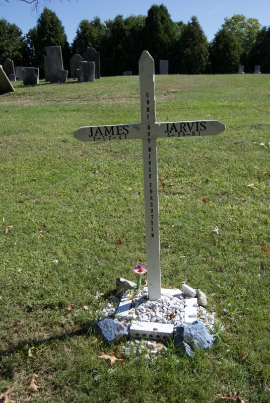
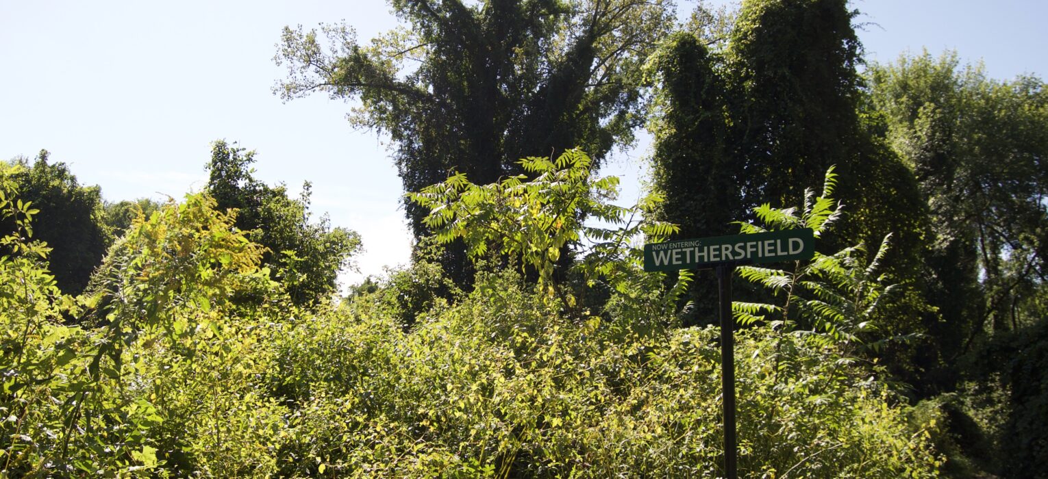
Wethersfield is the other Connecticut town on both the river’s east and west banks, but is without any permanent residential structures. The two towns found themselves in this unique position for different reasons. For Haddam, the communities developed separately and decided they ought to be one town. For Wethersfield, the entire settlement began on the Connecticut River’s west side. A major flood in 1683 rotated the river’s bend, and then in 1692, another flood created Wethersfield Cove and Keeney Cove. This is how the Wethersfield Triangle AKA Hockanum Meadow came to be.
Access to these parcels within the Wethersfield Triangle, amounting to 55 acres in all, is improving with the South Meadows Greenway trail expansion project which should eventually connect Goodwin College to the Putnam Bridge area. If you’re going there from Hartford, what that means is you will be able to bike or walk from the Riverfront Recapture parks to Keeney Cove without ever having to get onto a street besides Riverside Drive in East Hartford.
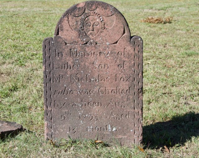
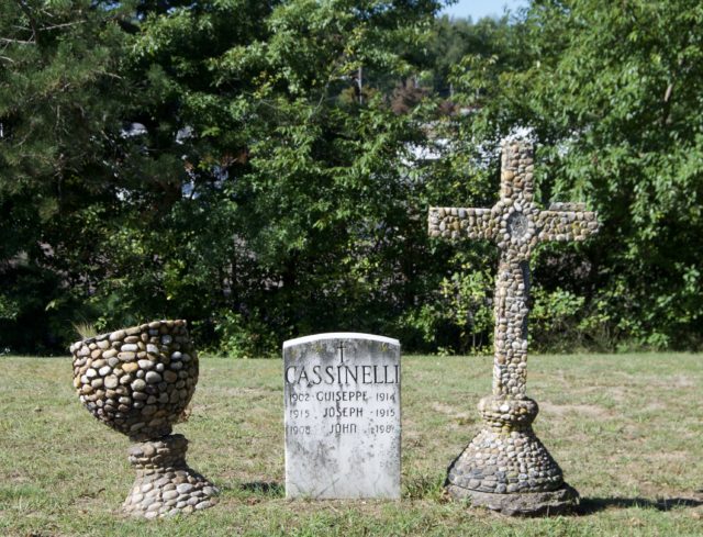
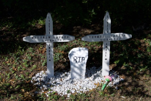
Until that happens, the main entrance is accessed by taking East Hartford’s South Meadow Lane, off of High Street. South Meadow Lane starts off paved, then switches to gravel. Old South Cemetery covers less than an acre of a small hill and contains the body of an unidentified man found drowned in the river in the 1986, that of a man who fought in the first battle of the Revolutionary War, an infant who “was Choked by a been,” among others. It does not appear that anyone has been buried here in the last decade, but I would not go so far as to call this place lonesome or forgotten. It gets mowed. Trinkets continue to be left on graves. There isn’t litter strewn everywhere.
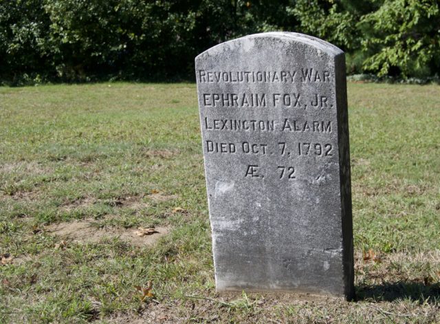
Beyond the cemetery is really where the South Meadows Greenway begins, and multiple signs along the road will tell you this. Right now, there is not much path north of the gazebo, but this is where it is expected to be extended toward Goodwin College. Instead, we’ll head south, passing several modern, sleek benches that appear to be built to withstand repeated floods. The trash cans even have a space age look to them. The path is well-marked with directional signs, along with newer ones providing quick history and nature facts. There are even signs telling you when you cross from Wethersfield to Glastonbury.
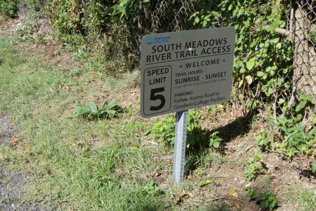
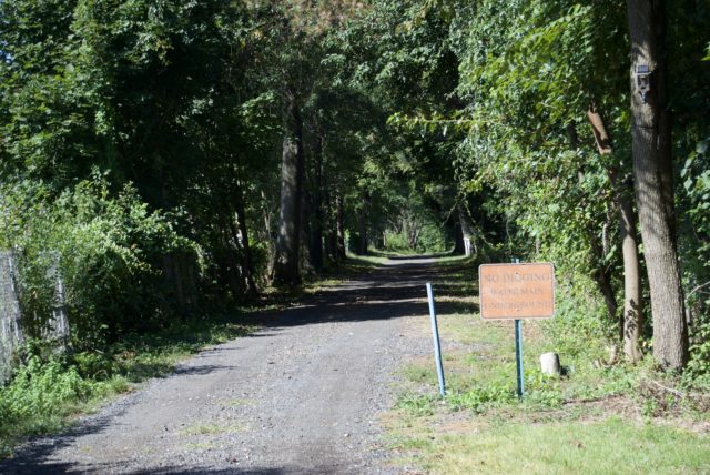
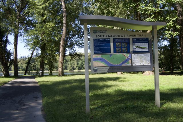
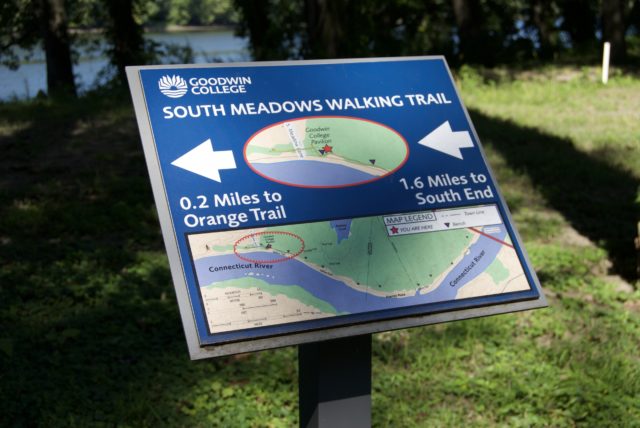
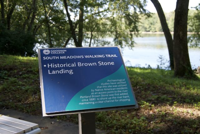
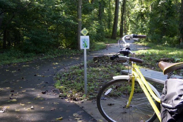
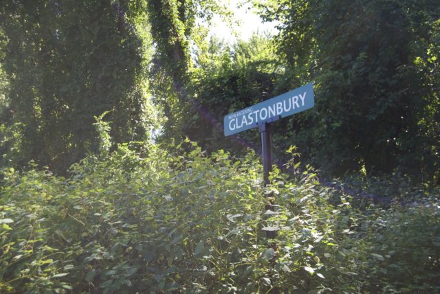
Unlike Great River Park, which feels very open, the South Meadows Greenway is more wooded, aside from the clearing at its entrance. From the perspective of a park user, I am more than okay with our outdoor spaces being varied and not being everything to everyone. Enjoying a picnic table should not mean demanding one in every public space.
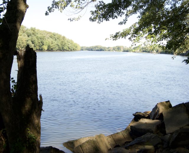
Something that must be said about parks that flank rivers: they can not be expected to be neatly packaged. Don’t be surprised when a path is interrupted by floodwaters. With the South Meadows Greenway, it can even alternate between pockets of ice and mud, seasonally. Although it would be more logical to build these types of trails at higher elevations so that they are continuously usable for the average pedestrian or cyclist, Connecticut is currently not using that logic, considering such trails as recreation and not commuter routes. Wear sneakers that can get muddy.
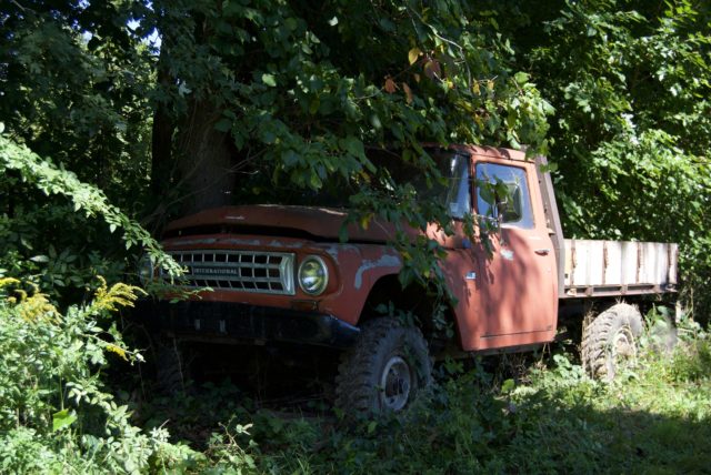
(Something else that must be said: this is downwind of the trash incinerator. Odors are common, but not constant. That is what happens when 70 towns send their garbage to Hartford instead of keeping it in their own backyards, or even just in their own county.)
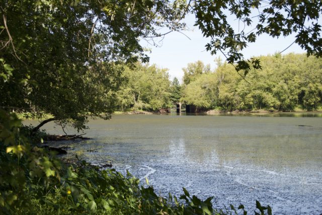
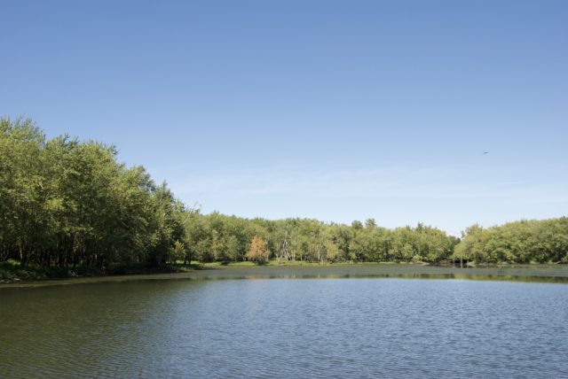
Right now, if it’s not flooded and you don’t mind a little mud, you can get to Keeney Cove, a popular fishing spot. After passing below the Putnam Bridge, just follow the path, which will bring you through another meadow. This one is more meadow than marsh. The trail ends at a gate that can be skirted on foot or bike. There is a narrow bridge on Point Road, which sometimes floods. From here, it’s a five-minute bike ride to the Goodwill store and other attractions in Glastonbury, but without having to endure traffic jams to get there.
There is a plan ($10.5 million) to finish the pedestrian/cyclist segment on the Putnam Bridge. (It may be physically possible to make this crossing now for those who are scrappy and enjoy ignoring “no trespassing” messages, but this is not recommended for reasons besides simply being law-abiding.) The multimodal trail ramp would begin near Naubuc Avenue in Glastonbury and end by Great Meadow Road in Wethersfield. This will take you to the other part of Wethersfield, where you can easily get to the Great Meadows, a restaurant with river view, or Old Wethersfield. I feel like they could accomplish this for far less money, and then take the remaining chunk of budget to install protected bike lanes elsewhere, but what do I know?
Anyway, if you’re into looking at nature but don’t want to do this in a crowd of people, the South Meadows Greenway is worth checking out.
Lisa Wraight Breglio
Wonderful and educational article .. thank you!!
Grateful and honored I grew up in Wethersfield and walked all its streets and the cemetery many times as well. Loved taking photos especially in Old Wethersfield.
So much history and wonderful memories!
My husband and I now live in Mystic, Ct, another beautiful and “aucient” town !!! ❤️